
Atlanta continues to be one of the fastest-growing cities in the United States. According to Atlanta Regional Commission’s 2021-2022 population estimations, the metro area added 64,940 new residents between April 2021 and April 2022, expanding the region’s 11-county population to 5.1 million.
To accommodate this growth, Atlanta’s leaders are advancing projects that address the region’s evolving transportation needs and quality of life. With roadway improvements and commute options, communities can look forward to more avenues than ever to travel safely and efficiently.
2023 will bring more progress to make convenient, region-wide transportation a reality. Have a look at five projects transforming Atlanta this year:
1. The Multi-Year, Multi-Mile ‘Transform 285/400’ Project Approaches the Final Stretch
The Transform 285/400 improvement project began construction in February 2017, helping reduce traffic congestion and enhance safety surrounding the I-285/SR 400 interchange in metro Atlanta, one of the region’s busiest business districts.
After six years of hard work and improvements, this multi-year project will finally be wrapping up in 2023! In total, 4.3 miles will be improved, which includes I-285 from west of Roswell Road to east of Ashford Dunwoody Road and 6.2 miles along SR 400 from the Glenridge Connector to Spalding Drive.
Once fully complete, motorists will be able to take advantage of new flyover ramps, new collector-distributor lanes, and other facilities to aid east-west travel along I-285 and north-south travel along SR 400.
2. 70+ Transportation Projects Slated For Funding Through Atlanta Regional Commission’s Transportation Improvement Program
Just before the end of 2022, municipalities, counties and agencies across the region got some great news as the Atlanta Regional Commission (ARC) announced it allocated $235 million in federal funds for 77 transportation projects across metro Atlanta through its Transportation Improvement Program (TIP).
The transportation projects include 35 roadway improvements, 25 bicycle-pedestrian trails, eight transit projects, and nine planning studies. Some project highlights include:
• Implementing a “road diet” for safety and walkability improvements on Chamblee-Tucker Road in Tucker and Donald Lee Hollowell Parkway in Atlanta;
• Reconfiguring the I-20 ramp at Chapel Hill Road in Douglas County to reduce congestion and improve safety;
• Reconfiguring left turn lanes, adding sidewalks and improving freight truck traffic on Mountain Industrial Boulevard in DeKalb County;
• Providing a continuous sidewalk, ramps for people with disabilities, as well as street and pedestrian lighting along 11.5 miles of Tara Boulevard in Clayton County; and
• Connecting Rockdale River Trail to Johnson Park and providing access to nearby commercial areas, linking it with Panola Mountain and Arabia Mountain trails in Rockdale County.
View the full project list here.
3. More Station Upgrades, Public Art in the Works for MARTA Stations
Through programs like Artbound, MARTA and its partners have been making headlines in recent years with bold reimaginations of its stations. This coming year the transit agency will embark on plans to enhance two of its busiest stations.
MARTA recently announced plans for significant station upgrades for Five Points, the transit system’s “central hub” and gateway to Underground Atlanta. The approximately $200 million project will include lighting and safety improvements in addition to adding open spaces and mosaics.
Further north, MARTA announced a partnership with the City of Dunwoody, Perimeter Community Improvement Districts (PCID)/Perimeter Connects and Living Walls to transform the concrete exterior of Dunwoody Station’s parking deck into nearly 3,000 SF of canvas! The parking deck’s exterior faces Hammond Drive, an extensive artery for bus, foot, biking, and car travel right in the heart of Perimeter’s business and retail core.
We’re excited to see what comes of these two projects!
4. Clifton Corridor’s High-Capacity Rapid Transit Project Awaits Adoption
Just over a decade in the making, MARTA is closing in on plans to bring a frequent, high-capacity transit line for Clifton Corridor to improve transit access and connectivity along Clifton Road and MARTA’s rail system.
Clifton Road serves as a major employment and institutional corridor, with the Centers for Disease Control and Prevention (CDC), Emory University, Emory University Hospital, Children’s Healthcare of Atlanta – Egleston, Lindbergh Center and Atlanta VA Medical Center. The project will connect Decatur Station to Lindbergh Center station, stopping at several notable institutions along the way.
The service plans have been designed out of a significant community and stakeholder engagement process, including the opportunity to provide feedback on multiple options for routes and vehicle types. During a public meeting on Nov. 15, MARTA presented three proposals to get the job done—one would consist of light rail and the other two would involve bus rapid transit.
MARTA’s board is set to adopt the plan for Clifton Corridor early this year, kicking off a multi-year effort to implement the transit line. The project completion is estimated for 2036, and Bus Rapid Transit (BRT) options could be implemented sooner, according to MARTA Project Manager Bryan Hobbs.
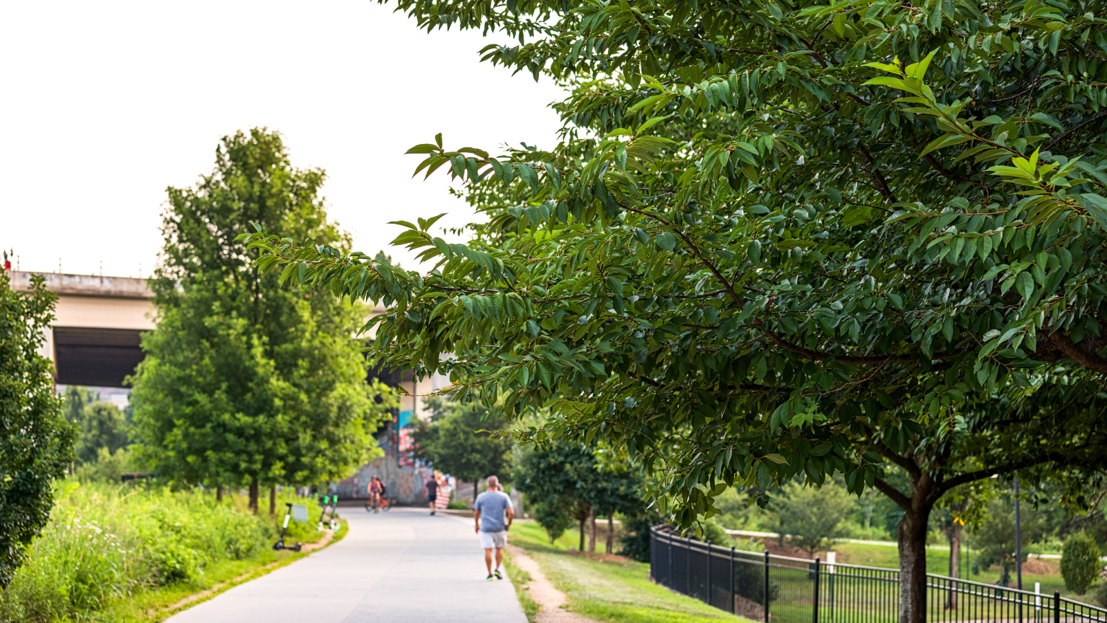
5. Greenspace, Trail Projects Connect Atlanta’s Community
Topping the list of desired community amenities, active spaces, trails and multi-use paths are filling in, with more progress on the horizon to make the region’s vision for walkability, livability and connectivity a reality.
At the end of 2022, Central Atlanta Progress secured over $1.1M in federal investment toward the ambitious ‘Stitch’ project, which would create approximately 14 acres of urban greenspace and transportation enhancements across the Downtown Connector. The project will continue the next phase of planning and conceptual in 2023, including community engagement efforts to define the master plan. The project is expected to enter engineering and design in 2024, with construction starting around 2026.
This project is one of three proposed to “cap” highways with greenspaces, making more room for people-powered movement, including Midtown’s Connector Project and Buckhead’s HUB404, formerly known as Park Over GA 400.
Atlanta BeltLine, Inc. has secured $11 million grant funding from ARC’s TIP towards construction of two segments along Atlanta’s favorite 22-mile loop. The Southside Trail is set to receive $6 million, while the Northeast Trail will receive $5 million. By connecting regional and local trails and providing viable transportation options, each segment of the BeltLine trail will increase mobility options, jobs, housing and more throughout Atlanta.
PATH400 is a 5.2-mile walkable and bikeable greenway that runs along Peachtree Creek and connects the north and south edges of Atlanta. Construction has begun on the last major segment of PATH400 from Wieuca Road to Loridans Park in Buckhead. Once completed, this segment will give locals more walking and biking paths to get around their neighborhoods—from home to school, work, local businesses and beyond. In total, it will cost an estimated $37 million to construct the entire route, with the PATH Foundation and Buckhead CID providing funding for the earlier phases.
These only scratch the surface of trail and greenspace projects happening across the region. We’re thrilled to see these and other visions come to fruition to give people more ways to walk, bike and roll.
—
Transportation in and around Atlanta is improving every year with more routes, trails, and innovative approaches to transit always in the pipeline. We’re excited to keep you in the loop and help you navigate it all. Learn more here.