
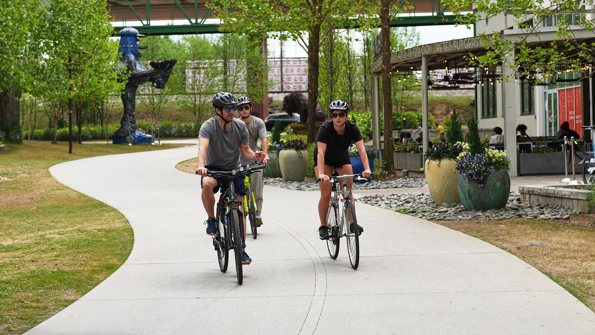
Biketober, metro Atlanta’s favorite bike challenge, kicks off on Thursday, October 1. If your teams are looking for some fun places to ride without the hassle and worry of navigating through traffic, here are three terrific trails that are quick and easy to get to.
Arabia Mountain/Panola Mountain State Park
Amp up your weekend ride. If you’re looking for a fun fall ride that’s close to home, the 20-minute drive east from Atlanta to PATH trail through Arabia Mountain National Historic Area won’t disappoint. Enjoy 33 miles of paved trails that combine great natural scenery — wildflowers, conifers, lakes, granite outcroppings — with cultural and historic sites like quarry ruins, farms, and a Trappist Monastery where you can score baked goods and wild honey harvested and bottled by the monks.
Challenge Rating: Medium-Hard
The trail has something for everyone. Overall, the path features rolling hills and curves, with few flat sections. There are also some more challenging climbs with long, steep grades and even a few hairpin turns that will get your heart thumping. Watch your speed to stay safe and avoid surprising pedestrians and wildlife.
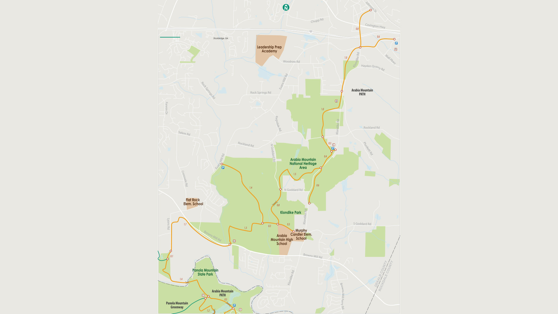
Map of Arabia Mountain Path
Atlanta Beltline
Take a tour of some of the best of what Atlanta has to offer. The Beltline is an urban movable feast — where nature, history, open-air markets, outdoor art, great food, and people watching come together. And as the world’s longest linear arboretum, there’s a lot of beauty to behold. The greenspace features 647 unique trees and shrubs, and more than 700,000 native plants. In June, the Beltline celebrated its 20th anniversary. So far, nearly 17 continuous miles of the path have been completed and 36 neighborhoods linked. (By the project’s completion in 2030, it will form a 22-mile loop that connects 45 communities.) Cruising the Beltline is a great way to experience Atlanta.
Challenge Rating: Easy
The Beltline is mostly flat with a few moderate hills. A word of advice: If you don’t like crowds, plan to ride in the morning and during weekdays. Weekends are prime time, drawing throngs of bikes, scooters, skaters, and walkers — as well as four-legged friends — that can literally slow your roll.
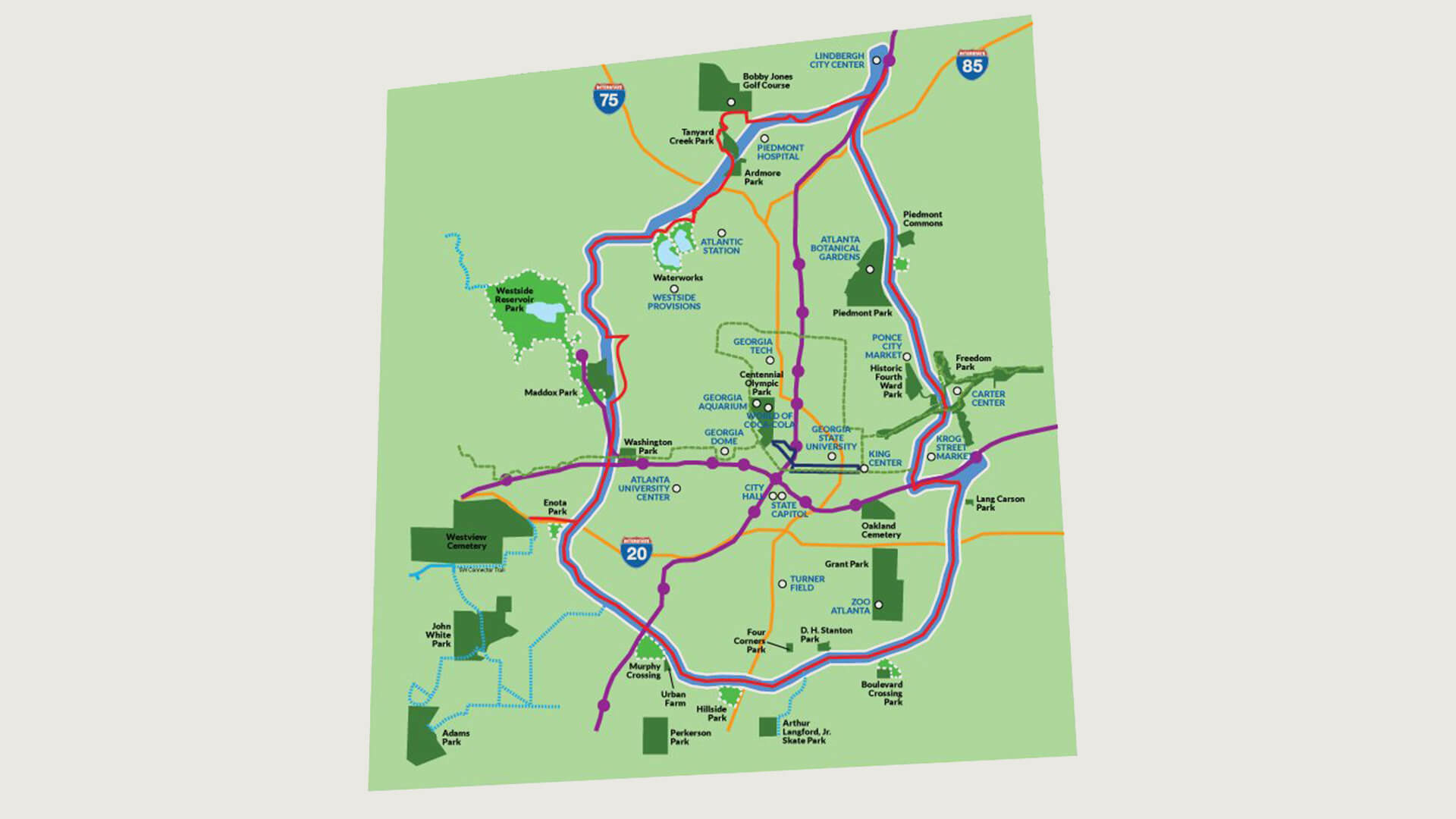
Map of the Atlanta Beltline
Silver Comet Trail
Looking for a long ride through miles of gorgeous, pine-studded parkland? Head out to the Silver Comet Trail where you can stretch your legs and limit. Built on abandoned railroad lines and touted as the longest continuous paved trail in the U.S. at 105 miles, the Silver Comet trail runs 61.7 miles westward from Smyrna in Cobb County to the Alabama state line, where it links up with the fully paved Chief Ladiga Trail (39.2 miles). Bonus: The 6.5-mile extension that was completed in 2025 now connects Chief Ladiga Trail to Anniston’s Multimodal Amtrak Station so you can catch a train home.
Challenge Rating: Easy
The trail is flat, smooth, and wide with few street crossings — making it perfect for cyclists, runners, and walkers of all ages. There are some gradual hills and gentle curves but nothing that will take the wind out of your sails.
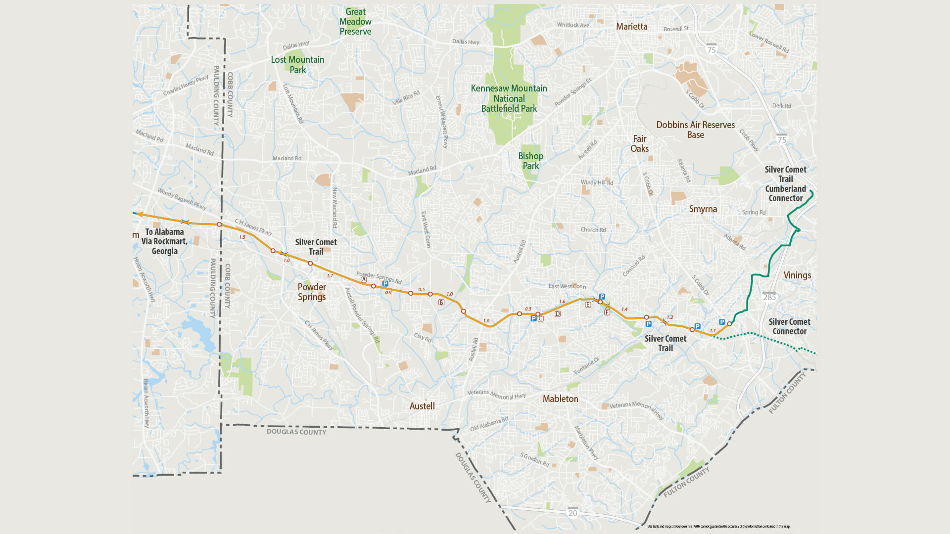
Map of Silver Comet Trail
Biketober Kicks Off on Thursday!
Biketober kicks off October 1 and runs through October 31. Every ride counts — from a spin around the block to a daily commute — and every ride logged brings more chances to win prizes.
New and existing riders can participate individually or form a team with friends or coworkers. Cyclists compete by logging their miles and earning points for every mile they ride, every day they ride and for every additional person they encourage to participate. The more points they earn, the more chances they have to win weekly prizes, including cash. This year’s grand prize is an electric bike.
For more information about the Biketober Challenge, including registration details and event updates, visit biketober.com.
Georgia Commute Options — a program made possible by the Atlanta Regional Commission and Georgia Department of Transportation — works with businesses, property managers, CIDs, and local transportation management associations to develop and implement commute programs and services that reduce traffic congestion and improve air quality across the region.